
Geography Wine: hidden places, mysterious towns, ancient discoveries
geography wine
0
Geography Wine is a relaxing, documentary-style exploration of the planet's most fascinating and lesser-known places. Episodes cover incredible geography facts, hidden and mysterious locations, dramatic landscapes and natural wonders, isolated towns, ancient sites and forgotten civilizations, and dangerous or little-discussed regions. It is aimed at listeners who enjoy learning about strange borders, geography mysteries and the surprising stories behind countries and regions around the world. The tone is calm and easygoing, described by its creators as relaxing "like wine."
Episodios
-
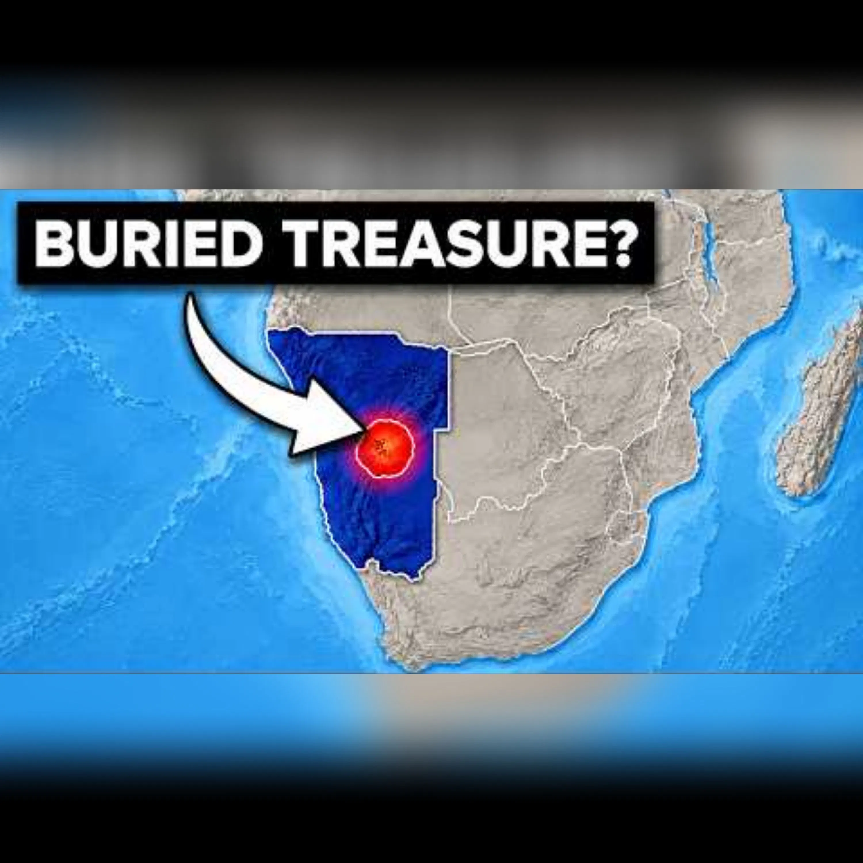 Namibia's Hidden Wealth: A Geographical Goldmine 12.10.2026 19mNamibia, often seen as an endless desert, hides one of the planet's richest concentrations of natural resources. Beneath its sands and offshore lie diamonds, uranium, offshore oil, rare earth elements, rich fishing waters, and exceptional solar and wind resources. This episode uncovers 25 astonishing facts about Namibia’s unique geography and valuable resources, making it potentially one of the most precious lands on Earth. Topics include the formation of the South Atlantic Ocean, volcanic geology ties with Brazil, the Benguela Current, the origins of the Namib Desert, fog-powered ecosystems, unique plant life like the Welwitschia, and iconic landscapes such as Deadvlei and the Skeleton Coast. We also discuss Namibia's marine diamonds, uranium mines, green hydrogen potential, and offshore oil discoveries. Discover how Namibia's geographical history, dating back 130 million years to the split of Africa and South America, created its current wealth. The Benguela Current supports a rich marine ecosystem but also contributes to the arid desert climate, crucial for the formation of high-quality coastal diamonds. Namibia's vast solar exposure, coastal wind, deep-water ports, and large unpopulated areas make it ideal for renewable energy projects, including green hydrogen initiatives. #Namibia #naturalresources #diamonds #uranium #offshoreoil #rareearthelements #BenguelaCurrent #NamibDesert #greenhydrogen Learn more about your ad choices. Visit podcastchoices.com/adchoices
 -
 Episode 30: Unbelievable Truths About Norway's Fascinating Landscape 12.10.2026 20mDiscover 30 surprising facts about Norway that seem fictional but are true. Explore Norway’s fascinating geography, from fjords and Vikings to ancient rock carvings and melting artifacts. Learn about the unusual rights in Svalbard, the world-renowned Global Seed Vault, and Norway's electric vehicle revolution. Highlights include: Norway’s massive coastline Svalbard's unique treaty The Svalbard Global Seed Vault Polar night and the midnight sun Sámi culture insights Hydropower's role in energy Oil, gas exports, and the sovereign wealth fund The Atlantic Ocean Road and Trollstigen Engineering marvels: Lærdal and Stad tunnels Norwegian fjords and Hardangervidda Myth busting about lemmings and Slow TV Historic Viking ships and stave churches Post-glacial land uplift evidence Arrows and artifacts emerging from ice Geological connection to Scotland, Greenland, and Appalachia Svalbard, a far-northern Arctic archipelago, hosts the Global Seed Vault, a crucial agricultural backup. Norway's geography, with its heavy reliance on hydropower and wealth from oil and gas exports, supports one of the largest sovereign wealth funds globally. The Alta carvings and geological links to ancient mountain systems highlight Norway’s rich history. #Norway #Svalbard #GlobalSeedVault #fjords #Vikings #hydropower #electricvehicles #LærdalTunnel #StadShipTunnel #Altarockcarvings Learn more about your ad choices. Visit podcastchoices.com/adchoices
 -
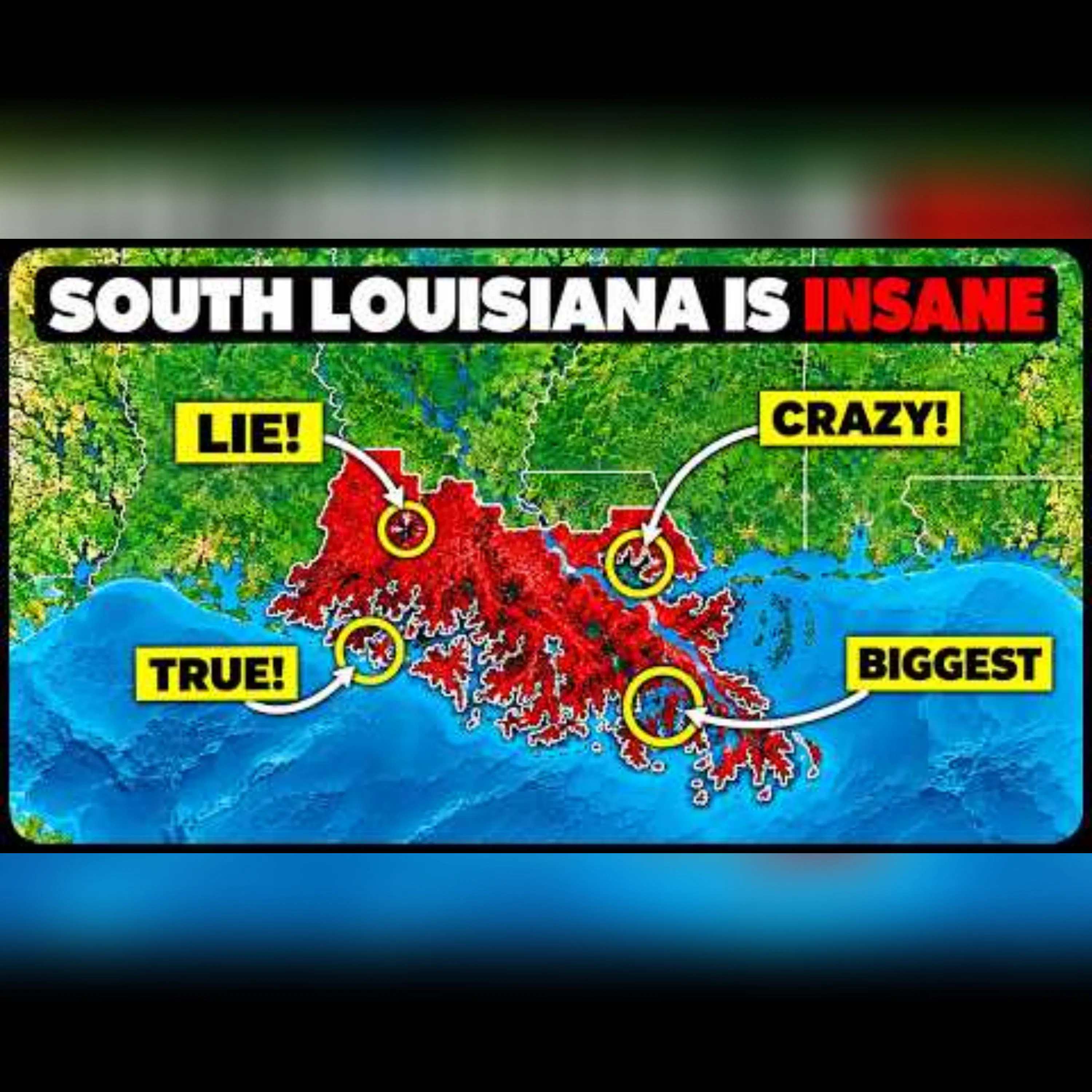 The Unique Geography of Southern Louisiana 09.10.2026 19mSouthern Louisiana is unlike any other land; it's the sediment deposit of a continent, with mud from Montana, Minnesota, Ohio, and Pennsylvania. It lacks bedrock, causing it to sink, held only by a single concrete structure since the river tried to reroute in the 1950s. Explore 30 intriguing facts about this engineered, fast-disappearing U.S. landscape. Discover the lake that drained in three hours in 1980 when a drilling rig hit a salt mine, pulling down barges and a tugboat. Learn about a hot sauce company on a salt dome, bayous that are actually dead rivers, and a city where the oldest areas are its highest ground. The Old River Control Structure, which almost failed in 1973, is the sole barrier preventing the Mississippi from redirecting to the Atchafalaya. The gumbo and jazz are authentic but not the main attraction. What's Covered: - Over 2,000 square miles of land lost since the 1930s, more than Delaware, and why it sinks instead of eroding. - Sediment layers with no foundational bedrock. - The French Quarter as high ground, and draining back swamps causing New Orleans to deflate. - The Chenier Plain and why Bayou Lafourche and Bayou Teche are Mississippi's abandoned channels. - Jurassic salt columns, Five Islands, and Avery Island's Tabasco factory. - Lake Peigneur's 1980 whirlpool, reversed canal, and waterfall. - The Atchafalaya Basin, North America's largest river swamp, and the lost cypress forest. - Birdfoot Delta sediment dumping into deep waters. - Delta lobe switching, Mississippi's overdue switch to Atchafalaya. - Old River Control Structure, 70/30 split, and near-failure during the 1973 flood. - Bonnet Carré Spillway, opened by timber pins. - Mississippi River Gulf Outlet and 10,000 miles of oil and gas canals. - Saltwater intrusion, barrier islands disappearing, and storm surge amplification. - Isle de Jean Charles, the first federally funded community relocation of its kind. - Port of South Louisiana, petrochemical corridor, and offshore oil traps built by salt. If you're from southern Louisiana and think we missed something, please comment — locals always know what the maps omit. 0:00: A lake that drained in three hours0:50: A disappearing state with no bedrock2:02: Why New Orleans is below sea level3:10: Cheniers and bayous - dead rivers and old beaches4:30: Salt domes and Avery Island5:46: Lake Peigneur - the lake that drained into a salt mine6:58: The Atchafalaya Basin and the lost cypress forest8:06: The Birdfoot Delta8:42: Why the Mississippi wants to change course10:02: The Old River Control Structure and the 1973 flood11:16: Bonnet Carre and Morganza - the release valves11:48: MRGO and 10,000 miles of canals12:58: Saltwater, barrier islands and storm surge14:41: Isle de Jean Charles15:15: The busiest port in America and the petrochemical corridor16:53: This is not land #SouthernLouisiana #Geography #MississippiRiver #Louisiana #Sediment #OldRiverControlStructure #AtchafalayaBasin #LakePeigneur #Saltdomes #NewOrleans Learn more about your ad choices. Visit podcastchoices.com/adchoices
 -
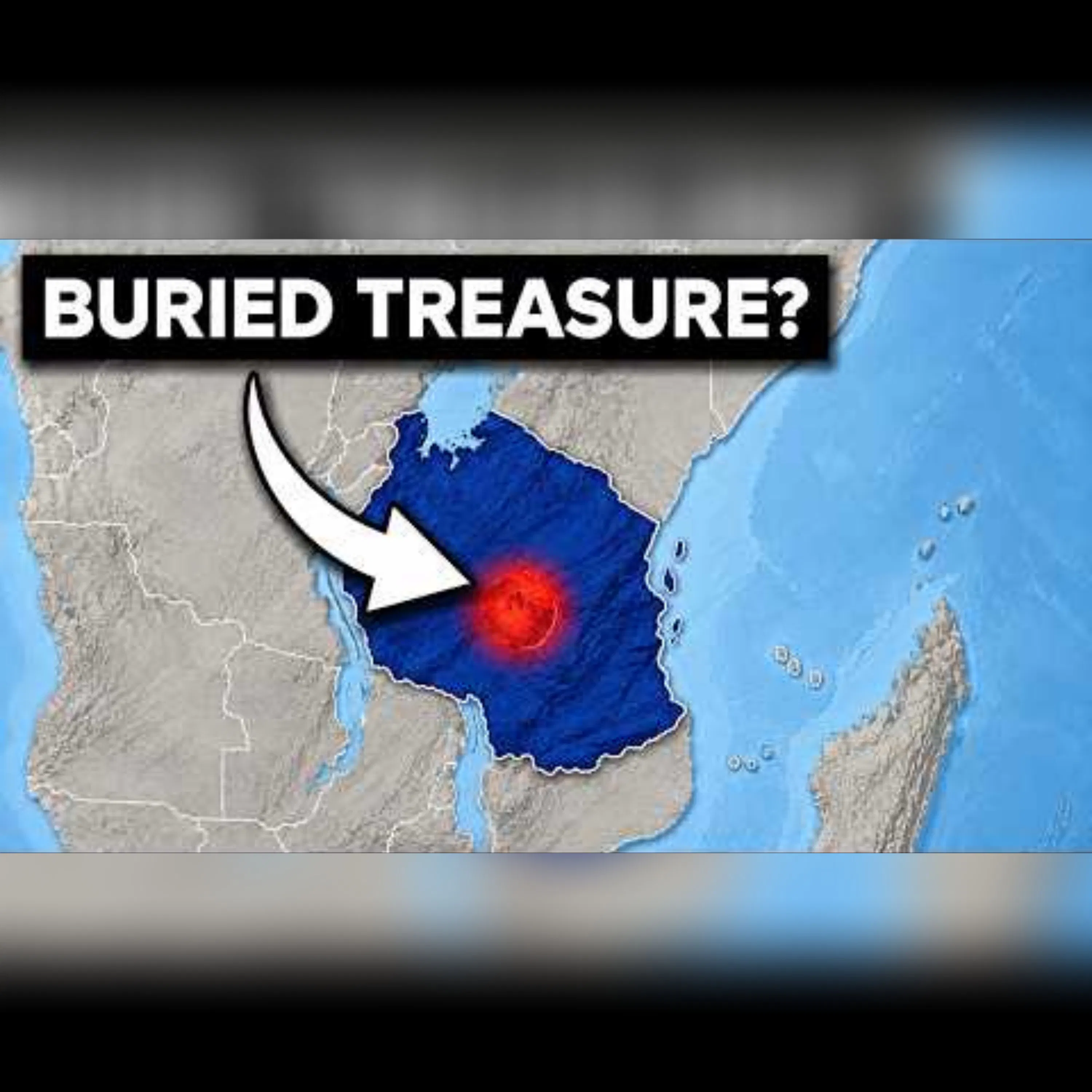 Tanzania's Rich Land: Unveiling Geology and History 08.10.2026 20mTanzania holds some of the most valuable land in history, thanks to its unique geology. The East African Rift, active for 25 million years, is a key player in shaping this landscape. As the crust thins, magma creates wonders like Kilimanjaro and Ngorongoro. These natural marvels, along with treasures like tanzanite and helium, stem from the rift's ongoing activity. The Serengeti's short-grass plains, formed from volcanic ash, nourish a vast migration of wildlife. Lake Tanganyika, the world's second deepest lake, resides in a trough from the rift's splitting. The gorge, where layered sediment reveals human origins, is another testament to this geological wonder. Join us as we explore 25 intriguing facts, from plate boundaries to ancient footprints, showcasing Tanzania's rich geological tapestry. WHAT'S COVERED The East African Rift: A plate boundary with two arms around Tanzania. Kilimanjaro: At 5,895m, with three cones and five ecological zones. Ngorongoro: A collapsed volcano forming a natural enclosure. Ol Doinyo Lengai: The only natrocarbonatite erupting volcano. The Serengeti: Grassland shaped by volcanic ash and minerals. The Great Migration: 1.5 million wildebeest birthing in just two weeks. Lake Tanganyika: A 1,470m deep lake, mostly anoxic below 200m. Lake Natron: A safe breeding ground for lesser flamingos. Olduvai Gorge: Revealing human history through layered ash. Laetoli: Preserved footprints from 3.66 million years ago. Tanzanite: A unique deposit near Mererani. Rukwa Basin Helium and Kabanga nickel deposits. Kilwa Kisiwani: Historical trade and the clove economy of Zanzibar. 0:00: A continent tearing itself in half1:00: #25-24 The East African Rift and the magma beneath it2:15: #23 Kilimanjaro - the highest free-standing mountain on Earth3:00: #22 Ngorongoro - the largest intact caldera on Earth3:52: #21 Ol Doinyo Lengai - the volcano that erupts black lava4:32: #20-19 Volcanic ash, the Serengeti and the Great Migration5:57: #18-17 Lake Tanganyika - a mile deep and mostly dead7:12: #16 Lake Natron - the lake that protects the flamingos7:52: #15-14 Olduvai Gorge and the Leakeys9:06: #13-12 The Laetoli footprints - 3.66 million years old10:11: #11 The Tanzania Craton and the Lake Victoria goldfields11:41: #10-9 Tanzanite - one deposit on the entire planet13:03: #8 Helium in the Rukwa Basin13:44: #7-6 Offshore gas and the Kabanga nickel deposit14:55: #5 The coastline six landlocked countries depend on15:30: #4-3 The Swahili coast, Kilwa and Zanzibar16:42: #2 The rift is still moving17:22: #1 One accident, and everything else is a consequence #Tanzania #EastAfricanRift #Kilimanjaro #Ngorongoro #OlDoinyoLengai #Serengeti #LakeTanganyika #LakeNatron #OlduvaiGorge #Laetolifootprints #Tanzanite #RukwaBasin #Kabanganickel #KilwaKisiwani #Zanzibar Learn more about your ad choices. Visit podcastchoices.com/adchoices
 -
 Why North Texas Holds The World's Most Valuable Land 08.10.2026 21mDrive west across Texas and witness a fascinating geographic phenomenon—a wall, not a hill or ridge, stretches for miles. Above is a vast flat plain, below lies rugged terrain. Hidden beneath is the largest aquifer in the U.S., the Ogallala Aquifer, with rainwater from the Ice Age. However, it's depleting faster than it replenishes, threatening the regional agricultural economy. This natural marvel formed from a dried Permian sea, erosion from the Rockies, and a river carving one of America's largest canyons—Palo Duro. 0:00: Intro: The Wall Nobody Talks About0:52: The Flattest Large Surface in North America1:25: Where the Llano Estacado Ends1:58: The Caprock Escarpment2:33: Palo Duro: The Second Largest Canyon in the US3:10: The Canyon That Cut Itself Backwards3:43: The Ogallala Aquifer4:20: Why the Water Is Not Being Replaced4:54: Fossil Water From the Ice Age5:27: The Alibates Flint Quarries6:04: A Trade Network 13,000 Years Old6:37: The Only Monument Dedicated to Stone7:08: Playa Lakes: 20,000 Holes in the Plain7:43: The Recharge Nobody Planned For8:16: The Permian Sea That Made All of It9:02: Red Beds and the Colour of the Rivers9:35: Salt in the Red River10:08: The Border That Moves10:43: The Oil Field Nobody Could Claim11:18: Burkburnett and the Wichita Falls Boom11:51: The XIT Ranch: Three Million Acres12:27: Land Traded for a Statehouse13:02: Barbed Wire Changed the Map13:35: The Dust Bowl Began Here14:13: What the Plough Actually Did14:48: Center-Pivot Irrigation15:23: The Feedlot Corridor15:56: Cotton on Borrowed Water16:29: Everything Underneath Is Doing Something Different17:11: The Geography That Contradicts Its Reputation17:51: A Deadline Nobody Is Watching18:52: Closing #Texas #geography #OgallalaAquifer #PaloDuroCanyon #LlanoEstacado #agriculture Learn more about your ad choices. Visit podcastchoices.com/adchoices
 -
 The Hidden Riches of Southern Texas: A Geographical Marvel 07.10.2026 21mSouthern Texas may appear as a mix of ranches, coastal towns, highways, and beaches, but beneath the surface lies one of America's most economically significant pieces of land. Over 150 million years, the continent's edge sank while layers of sediment accumulated. An ancient ocean's oxygen-starved condition led to the formation of the organic-rich Eagle Ford Shale, a significant source of oil and natural gas. This region doesn't just boast oil; it houses the Eagle Ford Shale, Edwards Aquifer, Lower Rio Grande Valley, King Ranch, Padre Island, Laguna Madre, the Port of Corpus Christi, Port of Laredo, Boca Chica, and vital energy and trade infrastructure. Our exploration dives into 25 astounding facts about Southern Texas, uncovering how geology, natural resources, international trade, shipping, wind energy, carbon storage, and spaceflight converge in this area. From the ancient ocean that birthed the Eagle Ford to today's trade routes linking the U.S. and Mexico, Southern Texas' value is no mere accident—it's a geological masterpiece millions of years in the making. #SouthernTexas #EagleFordShale #EdwardsAquifer #KingRanch #PadreIsland #geology #oil #naturalgas #tradeinfrastructure #carbonstorage #spaceflight Learn more about your ad choices. Visit podcastchoices.com/adchoices
 -
 Eastern Texas: The World's Most Valuable Land 07.10.2026 22mDiscover why Eastern Texas is one of the most valuable lands in human history. Beneath its pine forests and plains lies a geological system pivotal to modern energy. 170 million years ago, the Gulf of Mexico's formation left behind vast salt deposits. These created salt domes, oil traps, and natural gas formations, reshaping America's energy landscape. The 1901 Spindletop discovery launched the petroleum age, and the East Texas Oil Field followed, becoming one of America's greatest oil finds, influencing global oil prices and OPEC's model. Connected to the Houston Ship Channel, East Texas evolved into a key industrial hub with refining, petrochemical centers, pipelines, ports, and energy infrastructure. Today, ancient salt caverns are eyed for hydrogen storage, and former oil-trapping rocks are utilized for carbon capture, marking a new energy era. This episode explores 25 fascinating facts about Eastern Texas: oil fields, salt domes, LNG exports, timber, renewable energy, and the geology behind it all. 00:00 — The Ancient Sea Beneath Eastern Texas 00:45 — Birth of the Gulf of Mexico 01:30 — The Louann Salt Deposit 02:20 — Salt Domes and Oil/Gas Traps 03:10 — The Sabine Uplift 04:00 — Woodbine Sandstone Oil Trap 04:50 — East Texas' Pine Forests 05:40 — Spindletop and Oil Age Birth 06:35 — Sulfur Inside Salt Domes 07:25 — Strategic Petroleum Reserve 08:15 — East Texas Oil Field Discovery 09:05 — Creating OPEC's Model 10:00 — Kilgore's Richest Acre 10:50 — Big and Little Big Inch Pipelines 11:40 — Houston as a Global Port 12:30 — The Petrochemical Coast 13:20 — Rise of LNG Exports 14:10 — Haynesville Shale Gas 15:00 — Timber Industry 15:50 — Sinking Parts of Texas 16:40 — Water Supply 17:30 — Energy Economy of East Texas 18:20 — Independent Power Grid 19:10 — Carbon Capture and Hydrogen 20:00 — Geological Accident East Texas isn't just pine forests and oil fields. Its geological system is central to American oil production, global energy, and crucial infrastructure. 00:00: The Ancient Sea Beneath Eastern Texas00:45: Birth of the Gulf of Mexico01:30: The Louann Salt Deposit02:20: Salt Domes and Oil/Gas Traps03:10: The Sabine Uplift04:00: Woodbine Sandstone Oil Trap04:50: East Texas' Pine Forests05:40: Spindletop and Oil Age Birth06:35: Sulfur Inside Salt Domes07:25: Strategic Petroleum Reserve08:15: East Texas Oil Field Discovery09:05: Creating OPEC's Model10:00: Kilgore's Richest Acre10:50: Big and Little Big Inch Pipelines11:40: Houston as a Global Port12:30: The Petrochemical Coast13:20: Rise of LNG Exports14:10: Haynesville Shale Gas15:00: Timber Industry15:50: Sinking Parts of Texas16:40: Water Supply17:30: Energy Economy of East Texas18:20: Independent Power Grid19:10: Carbon Capture and Hydrogen20:00: Geological Accident #EasternTexas #geology #oil #naturalgas #energy #petrochemical #LNG #hydrogenstorage #carboncapture #Spindletop #EastTexasOilField #HoustonShipChannel Learn more about your ad choices. Visit podcastchoices.com/adchoices
 -
 Unveiling Eastern Texas' Geographic Mysteries 06.10.2026 22mExplore the intriguing mysteries of Eastern Texas including the eerie light on Bragg Road that has baffled witnesses for over a century. Scientists have investigated extensively, yet the mystery remains unsolved. Discover the fascinating history of a drowned cypress lake on the Louisiana line, created by a logjam that spanned a hundred miles and lasted for centuries, and the engineering challenges faced in managing its drainage. Delve into the geological wonders beneath the coastal plain, where Jurassic salt columns rise through solid rock, supporting the economic fabric of Eastern Texas. In this episode, we present 20 captivating insights: What eastern Texas is actually hiding The World's Richest Acre The only natural lake in Texas The hundred-mile logjam that built it Where four ecosystems collide The plants that eat things The island that isn't an island The wolves that were supposed to be gone Spindletop The salt is still moving The yellow rock nobody thinks about The country's insurance policy, in salt The crater nobody notices The state stone that was a tree The strip that belonged to nobody The border that moves The mounds most Texans never hear about The oil that went to ten cents The trap you cannot see The city that sank ten feet The light on Bragg Road Also covered are key locations like Kilgore, Caddo Lake, Big Thicket National Preserve, and more. Join us as we unravel these mysteries and don't forget to vote on where we should venture next! 0:00: What eastern Texas is actually hiding1:12: The World's Richest Acre2:17: The only natural lake in Texas3:05: The hundred-mile logjam that built it4:01: Where four ecosystems collide4:44: The plants that eat things5:27: The island that isn't an island6:16: The wolves that were supposed to be gone7:00: Spindletop7:56: The salt is still moving8:47: The yellow rock nobody thinks about9:29: The country's insurance policy, in salt10:08: The crater nobody notices10:49: The state stone that was a tree11:31: The strip that belonged to nobody12:13: The border that moves12:48: The mounds most Texans never hear about13:30: The oil that went to ten cents14:17: The trap you cannot see15:05: The city that sank ten feet15:51: The light on Bragg Road18:20: Your turn — and you pick where we go next #EasternTexas #BraggRoad #GeographicMysteries #BigThicket #CaddoLake #JurassicSaltColumns #Kilgore #Spindletop #Geology #Unexplained Learn more about your ad choices. Visit podcastchoices.com/adchoices
 -
 Scotland's Most Astonishing Facts Revealed 06.10.2026 20mDiscover the incredible history of Scotland, where Scotland and England were once on separate continents, divided by an ocean. These two parts of Britain fused around 420 million years ago, and you can stand on the line where it occurred. Explore a land with a mythical national animal, a mountain that's the remnant of a volcano, and a village older than the pyramids, hidden beneath sand for millennia. An island group was used as a royal dowry and never reclaimed. Uncover the story of a whirlpool that nearly claimed the life of the author of 'Nineteen Eighty-Four'. ⏱️ CHAPTERS 0:00 Six things that shouldn't be true 0:51 The seam between two continents 1:46 Mountains with relatives in Newfoundland 2:30 Rock three billion years old 3:14 The fault that cuts the country in half 4:06 Loch Ness, by the numbers 4:46 The volcanoes under Edinburgh 5:39 Ben Nevis is a collapsed volcano 6:24 Fingal's Cave 7:06 The mountains that break compasses 7:40 790 islands and 16,000 km of coast 8:19 Pawned for a dowry, never redeemed 8:56 Norn, Foula, and Christmas in January 9:41 Skara Brae 10:34 Quick question for you 10:46 St Kilda 11:34 The whirlpool that nearly got Orwell 12:16 The Pentland Firth 12:55 Turning weather into an export 13:28 Higher latitude than Moscow 14:05 Palm trees, and four times the rain 14:41 The Flow Country 15:28 The angels' share 16:14 Why Brent crude is named after a goose 16:48 Four universities before England had three 17:31 The inventions 18:02 Particle physics started in a hut on Ben Nevis 18:47 Three verdicts and a chained unicorn 19:23 What it all comes down to 20:35 Final thoughts 🏴 COVERED Iapetus Suture • Lewisian gneiss • Great Glen Fault • Loch Ness • Arthur's Seat & Ardnamurchan • Ben Nevis • Staffa & Fingal's Cave • the Cuillin • Shetland & Orkney • Skara Brae, Maeshowe & the Ness of Brodgar • St Kilda • Corryvreckan • Pentland Firth & MeyGen • the Flow Country • Islay peat • Brent • the Scottish Enlightenment 🔎 ONE WORTH FLAGGING Up Helly Aa is not an ancient Norse survival. It's a Victorian invention — which hasn't stopped it becoming entirely real. 👇 Which fact got you? 0:00: Six things that shouldn't be true0:51: The seam between two continents1:46: Mountains with relatives in Newfoundland2:30: Rock three billion years old3:14: The fault that cuts the country in half4:06: Loch Ness, by the numbers4:46: The volcanoes under Edinburgh5:39: Ben Nevis is a collapsed volcano6:24: Fingal's Cave7:06: The mountains that break compasses7:40: 790 islands and 16,000 km of coast8:19: Pawned for a dowry, never redeemed8:56: Norn, Foula, and Christmas in January9:41: Skara Brae10:34: Quick question for you10:46: St Kilda11:34: The whirlpool that nearly got Orwell12:16: The Pentland Firth12:55: Turning weather into an export13:28: Higher latitude than Moscow14:05: Palm trees, and four times the rain14:41: The Flow Country15:28: The angels' share16:14: Why Brent crude is named after a goose16:48: Four universities before England had three17:31: The inventions18:02: Particle physics started in a hut on Ben Nevis18:47: Three verdicts and a chained unicorn19:23: What it all comes down to20:35: Final thoughts #Scotland #mythicalcreature #volcano #SkaraBrae #whirlpool #BenNevis #LochNess #Highlands #Orkney #Shetland #StKilda #Geology #Whisky #Hebrides Learn more about your ad choices. Visit podcastchoices.com/adchoices
Podcasts similares


Popular en
Este podcast también aparece en las listas de podcasts de estos países.
