
Spatial Stack with Matt Forrest
Matt Forrest
0
Welcome to The Spatial Stack, where modern geospatial technology takes center stage. Our episodes feature interviews with leading experts, insightful discussions on the integration of AI and big data in spatial tech, and case studies on groundbreaking projects worldwide. Tune in to stay ahead in the rapidly evolving world of geospatial technology!
Episodes
-
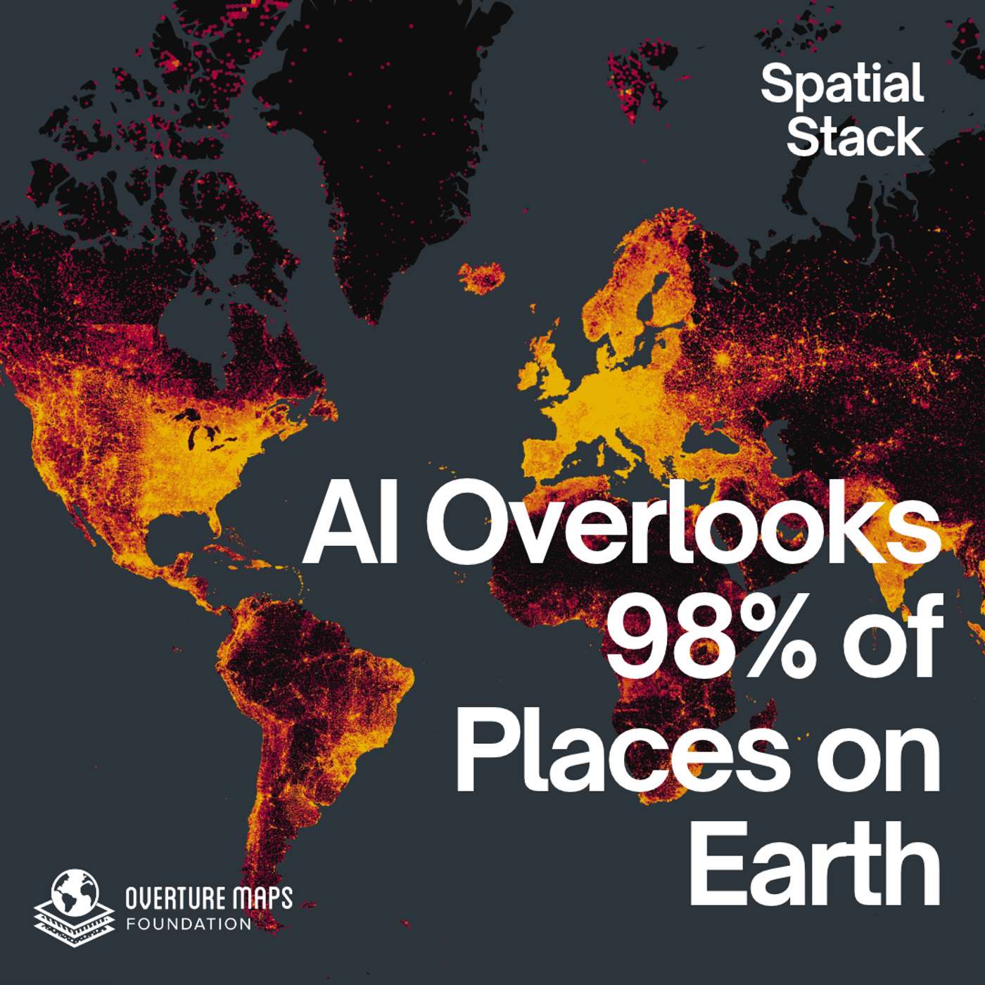 Grounding AI in the Real World: Overture Maps Foundation's Albi Wiedersberg 17.11.2026 38mWhy do AI assistants recommend only about 1.2% of local businesses?In this episode, Matt Forrest sits down with Albi Wiedersberg, VP of Product Management at the Overture Maps Foundation, to unpack what it takes to build a places layer that AI and every other product can actually trust.Albi pulls back the curtain on how Overture is tackling one of the hardest problems in mapping: keeping a global record of places complete and current. Discover how GERS (Global Entity Reference System) gives every place, building, road, and boundary on Earth a permanent ID, how the travel industry is using it t...
-
 The Map Anyone Can Edit (and the Tools Behind It) with Jake Low 27.10.2026 46mIn this episode of the Spatial Stack, Matt sits down with Jake Low, software developer at OpenStreetMap US and maintainer of MapRoulette, OSMCha, Field Papers, and Layercake.Jake explains how a map that anyone can edit takes in about 40,000 changesets a day, and why his job is building tools for the community rather than gatekeeping it. He walks through every way people contribute, from StreetComplete on your phone to JOSM on the desktop to Field Papers, a pen-and-paper workflow used in disaster response and elementary school classrooms.The conversation also covers getting data back out of Ope...
-
 Thinking Spatially for a Living: Chris Tucker on 175 Years of the American Geographical Society 08.09.2026 47mIn this episode of the Spatial Stack, Matt sits down with Dr. Chris Tucker, chairman of the American Geographical Society, in the year the AGS turns 175.Chris makes the case that spatial thinking is foundational literacy, on the level of language or math, and that the 4.5 million people who have taken AP Human Geography are already practicing it every day in jobs that never mention geography. He shares how a single question from a CIA veteran, about why we cannot draw a bounding box on a map and pull in everything known about that place at that moment, set the direction for almost thirty years...
-
 Mapping the Invisible: Soil Fungi, Satellites, and the Largest Network on Earth with Justin Stewart 26.08.2026 38mWhat does it take to map something you have never seen?In this episode, Matt Forrest sits down with Justin Stewart, quantitative ecologist at SPUN, the Society for the Protection of Underground Networks, to unpack how his team built the first global map of arbuscular mycorrhizal fungi, the soil organisms living in symbiosis with most plants on Earth.Justin walks through the full pipeline, from robotic microscopy of threads two and a half microns wide up to a planetary prediction at one square kilometer resolution. The team assembled 16,000 soil samples from more than 300 studies across 11 lang...
-
 Beyond the Blue Dot: AI & LLM Navigation with Zephr's Sean Gorman and Pramukta Rao 16.07.2026 42mWhat does it actually take for an AI to navigate you through the real world, without a screen and without a camera running the whole time?In this episode of the Spatial Stack, Matt Forrest sits down with Sean Gorman and Pramukta Rao, the co-founders of Zephr, to unpack how they ground large language models in location. Sean and Pramukta spent twenty years building startups together, from GeoIQ to Snap's visual positioning work, and at Zephr they walked away from the camera and went back to the sensors already in your phone.They get into why the blue dot on a map breaks down the moment you stop...
-
 Why the GIS Title Is Shrinking but Spatial Work Is Growing 14.07.2026 16mIn this episode of the Spatial Stack, Matt sits down solo to work through a fight that broke out across Reddit and LinkedIn last week: is GIS dying, or is it just changing its name?It started with a GIS manager who argued the field is alive, pointing to a friend who landed a $200,000 job building autonomous systems, a role where GIS never appeared in the title or the description. The comments pushed back. If the keyword for our whole profession barely returns jobs anymore, is the field really growing?Matt's answer is that both sides are right. The work of spatial is expanding into data enginee...
-
 AI, Embeddings, and the Future of Location Data with Dataplor's Ryan Urabe 17.06.2026 49mWhat does it actually take to make AI useful on location data?In this episode, Matt Forrest sits down with Ryan Urabe, co-founder and CTO of Dataplor, to unpack how AI, embeddings, and agents are changing the way we work with points of interest and places data.Ryan explains why general-purpose models already understand spatial concepts but still struggle to execute them, and why the real unlock is the harness around the model, not a geospatial-specific model. He walks through Dataplor's data-quality philosophy, the category problem (why "supermarket" and "grocery store" have zero string simila...
-
 Mapping Every Field on Earth: Global Field Boundaries, Open Data, and GeoAI with Taylor Geospatial 10.06.2026 42mWhat does it actually take to map every agricultural field on Earth?In this episode, Matt sits down with Jen Marcus, Vice President of Strategic Innovation Programs at Taylor Geospatial, and Isaac Corley, Director of AI/ML Research at Taylor Geospatial and a torchgeo maintainer, the team behind Fields of The World (FTW).In late April they released the first globally consistent dataset of agricultural field boundaries, at 10m resolution, fully open on Source Cooperative. They dive deep into how it came together, from building the fiboa format to standardize ground truth across 24 countries, to...
-
 Rebuilding Climate Risk: SPHERE, DuckDB, and the Modern GIS Stack with Troy Schmidt 27.05.2026 41mIn this episode of the Spatial Stack, Matt sits down with Troy Schmidt, a 20-year GIS developer and the creator of SPHERE, an open-source Python package that runs FEMA's HAZUS flood risk methodology on GeoParquet and DuckDB.Troy dives into why depth damage functions are simpler than the engineering language suggests, and how the gap between the HAZUS methodology and the HAZUS software pushed him to build a Python-first alternative. He shares the moment he realized the data and the science were already public, and that the only thing missing was a modern stack to run it on.The conversation also...
-
 From Geospatial Data Scientist to Full-Time Creator with Maggie Ma 20.05.2026 37mIn this episode of the Spatial Stack, Matt sits down with Maggie Ma, tech content creator at @maggieindata and former geospatial data scientist.Maggie left her corporate data science role last year to become a full-time content creator across Instagram, YouTube, LinkedIn, and TikTok. She's a 3x LinkedIn Learning instructor and an AI educator helping people break into data science, learn coding, and stay current with AI.We dig into the GIS title trap (and why the same job pays less under a different title), the seven internships that got Maggie into geospatial data science, cold-emailing profes...
-
 Chatting with the Physical World: Google's Yael Maguire on AI, Maps, and 280 Billion Images 22.04.2026 37mWhat happens when you give an AI the ability to see and understand the physical world? In this episode, Matt Forrest sits down with Yael Maguire, GM and VP of Google Maps Platform and Google Earth, to unpack the massive platform shift happening at the intersection of Artificial Intelligence and geospatial technology.Yael pulls back the curtain on how Google is transforming its massive corpus of 280 billion Street View, aerial, and satellite images into a searchable, interactive database. Discover how developers, urban planners, and creatives can now ask quantitative questions about physical in...
-
 Beyond the CSV: Visualizing POI Data for Global Expansion Strategy with Emily Lisle from Dataplor 20.04.2026 42mThe future is spatial, but how do we actually make sense of the data? In this episode, we sit down with Emily Lisle from Dataplor to discuss the current state of location intelligence and how to overcome the biggest location intelligence challenges facing businesses today.We dive into the data foundation, exploring the massive complexities of scaling geospatial data, consumer data, and POI data on a global level. Emily breaks down the gap between simply having access to millions of rows of location intelligence data and actually turning it into actionable business strategies.To solve this, Dat...
-
 AI Is Reshaping GIS Careers (Here's How to Stay Ahead) 03.04.2026 6mA viral LinkedIn post called "Something Big Is Happening" by Matt Schumer has been making the rounds and for good reason. In this episode, I break down why the pace of AI development should have every GIS professional paying attention, what I'm seeing in the geospatial space right now (from Claude Code in ArcGIS to AI-specific job postings), and the four things you should be doing right now to future-proof your career. Whether you're mid-career or fresh out of school, this one's for you.Original Article: https://www.linkedin.com/pulse/something-big-happening-matt-shumer-so5he00:00 — The Articl...
-
 Desktop GIS is Dying. Here’s What Replaced It. 20.03.2026 21mIf you are still trying to run your entire geospatial workflow on a local desktop, you are fighting a losing battle. The "Modern GIS Stack" looks chaotic at first glance with dozens of logos, cloud formats, and new databases. But once you strip away the noise, there are actually only a few key layers you need to master to make it all work.🚀 Don't navigate this shift alone. Join the Spatial Lab: https://forrest.nyc/spatial-lab/In this video, I break down the architecture that is replacing the traditional GIS model. We move beyond Shapefiles and Geodatabases into the world of Cloud-Native Geosp...
-
 The Next GPS? Why GeoAI is the New Invisible Infrastructure with Pierrick Poulenas (Picterra) 18.03.2026 33mHave you ever stopped to think about how GPS completely changed the world simply by becoming an invisible infrastructure running in the background of our everyday apps? According to Pierrick Poulenas, the CEO and co-founder of Picterra, the exact same pattern is playing out right now with Earth Observation and GeoAI.In this episode, we sit down with Pierrick to explore how GeoAI is bridging the gap between raw satellite imagery and accessible business intelligence. We dive into how Picterra is removing the friction of complex remote sensing data, allowing non-technical users to train machine l...
-
 Mastering Spatial Data in R: TidyCensus, PMTiles, & AI with Kyle Walker 17.02.2026 50mIn this episode of the Spatial Stack, Matt sits down with Kyle Walker, Professor of Geography at TCU and the creator of popular R packages like tigris and tidycensus. Kyle dives into why he views US Census data as critical infrastructure and how open data is fundamentally transforming decision-making across industries like real estate and energy. He shares the origin story of his open-source work, explaining why he champions the R programming language for full-stack geospatial analysis. The conversation also covers the evolution of web mapping, from the laborious process of rendering dot-densi...
-
 #40: The "GPT Moment" for Earth: Moving from Computer Vision to Large Earth Models 11.02.2026 59mWe have never had more data about our planet: petabytes of satellite imagery, aerial photos, and sensor readings collected daily. Yet, turning that massive volume of "noise" into a clear signal remains the fundamental challenge of the geospatial industry. In this episode of the Spatial Stack, I sit down with the engineering and product minds from Wherobots: Ryan, Phil, and Len - to tear down the architecture required to handle Earth Observation data at a planetary scale. We move beyond the buzzwords to discuss the engineering "war stories" of building resilient inference pipelines. We dive dee...
-
 #39: Why Geospatial Needs the Lakehouse with Damian Wylie 04.02.2026 37mThere are trillions of dollars invested in the physical world every da: infrastructure, supply chains, and our planet. Yet many of these massive decisions are made without the data to back them up. For too long, geospatial analytics has been gated behind specialized teams and siloed technology, treated as "spatial is special" rather than just another data type. In this episode, we sit down with Damian Wiley from Wherobots to break down how cloud architecture is finally closing this gap. With a heavy-hitting background from AWS EC2 and Databricks, Damian explains the shift from transactional da...
-
 #38: How Apache Sedona Solved Big Data’s Hardest Problem with Jia Yu 29.01.2026 54mLarge Language Models can write poetry and debug code, but they still don't understand the fundamental physics of the real world. Ask an AI to find the "nearest restaurant" to a specific coordinate, and it struggles because it lacks Spatial Intelligence. In this episode, we sit down with Jia Yu, the co-creator of Apache Sedona and co-founder of Wherobots, to discuss why geospatial data breaks standard big data engines and how he built the solution that now powers over 2 million downloads a month. We trace the 10-year journey from a PhD research paper to a top-level Apache project, diving into...
-
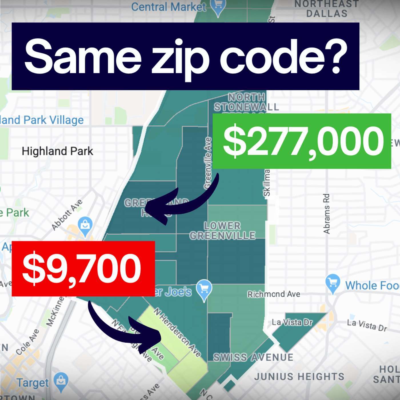 The Hidden History (and Flaws) of the Zip Code 23.01.2026 10mIn 1963, the US Postal Service introduced "Mr. Zip" to make mail delivery faster. They never intended for those five digits to determine your insurance premiums, your home value, or your health outcomes. In this short deep-dive, we explore how an arbitrary logistical tool became a shorthand for community and why that’s dangerous. From the misleading boundaries of Dallas, Texas, to the tragic data failures during the Flint water crisis, we uncover the real story behind the map. Listen in to learn why it's time to move beyond the zip code and start looking at the details that actually matter. --...
Similar podcasts


Popular in
The podcast also appears in the podcast charts of these countries.

